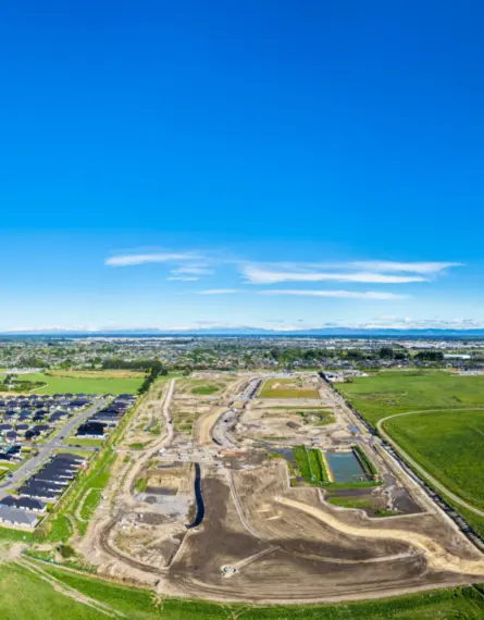
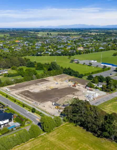
The Heights Wanaka
The Client
Our client was a private landowner, building a new holiday home. They engaged us to provide a topographical survey of their site to assist the architectural design of the building.
Client
Private ClientServices
- Land Surveying
The Challenge
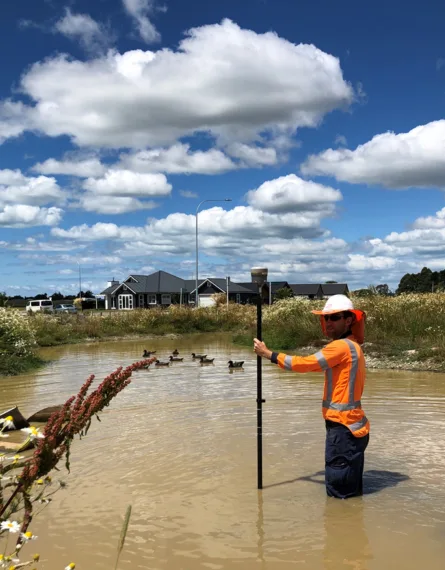
Our client was building a new build and required a topographical survey to assist with the earthworks and foundation design. A topographical survey determines the topographical features of the land, including contours and other features of interest that may affect a building’s design or location on a site. These can include power poles, trees, fences, letterboxes, and existing buildings.
This was an undulating site, and the build would require a reasonable amount of earthworks, some of which would push up against neighbouring boundaries. A reliable and accurate topographical survey was needed as the first step for the earthwork, retaining wall and foundation designs.


The Solution
Our field surveyors measured the physical levels across the site and produced a 3D digital design of the visual site. This was passed on to the client and their architect from which the architect designed the building and the necessary earthworks on top of the plan with a visual understanding of the real-world situation.
A topographical survey is the first step in building on a new section and it feeds into every subsequent stage of the development.
The ability to provide an accurate topographical survey at the beginning of the design stage of a construction project enables the design to fit the real-world and help with planning, earthworks and construction costing. The more complex a build and the more earthworks required on a site, the more expensive a project will be. Understanding the lay of the land and designing a building to fit into the natural topographical features of the land can save costs during construction.