Spatial Data Mapping for Solicitors
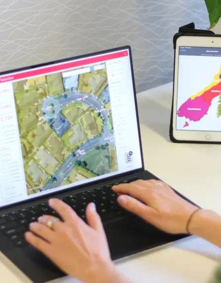
Eliot Sinclair’s spatial GIS team configure custom, internet browser-based maps & tools. Giving you & your clients a clear picture of their land & it’s attributes.
29 Jun 2023 | 4 min read
Spatial Data Mapping for Solicitors
See multiple layers of data
The browser-based maps are invaluable for:
- Depiction of boundaries, easements and any other features with embedded attributes
- Attaching a database of documents to mapped features (Titles, Instruments & Consents etc)
- Clarifying large & complex property assets & encumbrances
- Analysis of multiple sources of data with respect to location
- Collaboration between you, your client & third parties
GIS Data layers over real world view

Existing easements over the same area on separate layers.
Conveying Electricity, Water and Rights of Way.

Solicitors Easement Verification Viewer.
Assets (top) covered by easements (bottom).

Mining Permits
A Solicitor working on behalf of a Mining Permit owner needed to know the proportion of land ownership that their mining permits covered.


