What Is a Topographic Survey? Costs, Process & Uses Explained
Understanding Topographic Survey Meaning
A topographic survey (sometimes called a topographical or topo survey) is a detailed mapping of a land parcel that records natural and man‑made features in both plan and elevation. This includes contours, slopes, spot levels, structures, trees, drainage elements and underground utilities.
26 Aug 2025 | 4 min read
The goal is to create an accurate and fit-for-purpose 3D representation of a site that supports design, planning, and decision‑making.
At its core, this type of survey helps planners and engineers visualise the shape of the terrain; how it rises, falls, and connects – enabling accurate elevation assessment and feature placement.

What Is a Topographic Survey Used For?
Topographic surveys are commonly used to:
- Inform design and planning – ensuring building placement and site layout aligns with the landform.
- Support building and resource consents – most councils require topographic data for subdivisions, earthworks and developments.
- Calculate earthworks volumes – such as cut and fill quantities or slope analysis.
- Assist with landscape, roading, and infrastructure design – especially when working on hilly, coastal, or constrained sites.
- Avoid costly surprises – by identifying site constraints early.
Whether it’s a new home, a commercial build, subdivision or a public infrastructure project, accurate topographic data helps reduce risk and supports a smoother consenting and design process.
How Are Topographic Surveys Done?
A typical topographic survey process involves:
1. Preparation – reviewing existing site data, setting up survey control, and defining boundaries or key areas of interest.
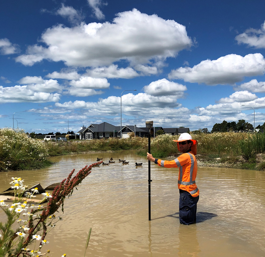
2. Field data collection – using instruments such as:
- Total stations for precise angle and distance measurements.
- GNSS / GPS systems (often RTK) for large open spaces or long linear features.
- Ground based and hand-held laser scanners for quick efficient capture of rich data associated with built areas; incorporating buildings, structures and hard-stand areas.
- Aerial Drone and LiDAR scanning for quick data capture across larger or harder-to-access sites.
3. Data processing – translating field data into digital models and drawings.
4. Deliverables – detailed site plans showing contours, spot levels, boundary marks, legal boundaries and features in 3D digital (CAD) or plan (PDF) format.
The technology used depends on site conditions and the level of detail and accuracy required.

How Much Does a Topographical Survey Cost?
Pricing for a topographic survey varies based on the complexity of the site, access, and the level of detail required.
At Eliot Sinclair, we approach each site with a tailored solution for your design needs, whether it’s a compact urban section, a steep hillside, or a large-scale block of land.
As a general guide, typical pricing starts from:
- Simple residential (flat site): $1,500 + GST
- Moderate complexity (sloped, vegetated): $2,500 + GST
- Larger or technically demanding site: $3,500 + GST
Costs may also vary based on:
- Site access and safety constraints
- Total area to be surveyed
- Any UAV/Aerial drone or LiDAR capture required
- Urgency or council compliance needs
- Level of above and below ground utility services to be surveyed.
Since every site is unique, we recommend contacting us for a customised quote. Our surveying team can talk you through what’s needed and ensure your project is set up for success from the start.
Learn more about our surveying services or get in touch with our team to discuss your site.