Building a House in NZ: Why a Land Survey is Your First Essential Step
Most people start their home-building journey looking at floor plans, kitchen designs, and exterior cladding options. While the design phase is undeniably the most exciting part of the process, the most successful builds start with what is under the house.
09 Apr 2026 | 4 min read
Before you can pour a foundation or frame a wall, you need to understand the exact parameters of your section. A professional land survey acts as the spatial insurance for your project.
With over 90 years of experience shaping the South Island, we've seen first-hand how guessing your boundaries or ground levels is the fastest way to blow your construction budget.
If you are planning a new build, here is why a land survey should be the very first item on your checklist.
Land Survey vs. Building Survey: What is the Difference?
In New Zealand, there is often confusion between these two terms, but they serve entirely different purposes at different stages of the property lifecycle.
- Building Survey: This is a structural inspection of an existing house. You typically hire a building surveyor when you are looking to buy an established property to check for issues like weather tightness or foundation settling.
- Land Survey: This is the process of measurement of features and mapping the earth’s surface for a property or portion of land. A land surveyor defines your legal boundaries, measures the contours of the land, and locates existing physical features or underground services. You need this before you can design or build a new home.
In short, a building surveyor checks what is already built, while a land surveyor provides the exact framework required to build something new.

3 Reasons You Cannot Build Without a Land Survey
1. Guaranteeing Boundary Accuracy
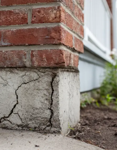
Assuming an old fence line represents your true legal boundary is a common and costly mistake.
Fences move over time, and relying on them can lead to your new home accidentally encroaching on a neighbour's property.
Resolving boundary disputes or having to shift a partially built structure is a legal nightmare that will cause severe delays. A Cadastral Survey (boundary survey) accurately locates your property lines so your builders know exactly where they can legally operate.
2. Ensuring Architectural Integrity
Architects and draftsmen cannot design a house in a vacuum.
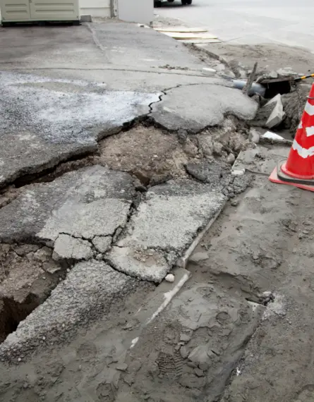
They require a Topographical Survey to understand the slope, elevation, and specific contours of your section. This is especially vital for hillside builds in places like the Port Hills of Christchurch or Queenstown, where the terrain dictates the foundation design, retaining wall requirements, and drainage solutions.
An accurate site model allows your design team to work with the land rather than fighting against it.
3. Securing Council Compliance
You cannot obtain a Resource Consent or Building Consent in New Zealand without highly accurate site plans.
Local councils require proof that your proposed build complies with district plan rules, including boundary setbacks, maximum site coverage, and daylight recession planes (height-to-boundary rules).
A professional survey provides the certified data the council needs to approve your project without unnecessary pushback.

Common Questions About Land Surveys in NZ
How much does a land survey cost?
Survey costs vary depending on the complexity of your site and the scope of work required.
For a standard topographical survey on a relatively flat residential section, pricing typically starts from $1,500+gst.
Costs may increase where:
- The site is steep, heavily vegetated, or difficult to access
- Existing boundary marks are missing or require reinstatement
- A full boundary definition survey is needed
We’re always happy to provide a tailored estimate once we understand your site and project requirements.
How long does the land survey process take?
For a typical residential site, fieldwork is usually completed within half a day to a full day.
Following this, we process the data into accurate digital models and plans. In most cases, you can expect your completed survey within 1–2 weeks from booking.
Timeframes can vary depending on site complexity and current workload, but we’ll confirm this upfront so you can plan with confidence.
What actually happens during the survey?
While the exact process can vary depending on the type of survey and site conditions, most land surveys follow a similar approach.
Surveyors use high-precision equipment to capture accurate spatial data across your site. This may include technologies such as GPS, UAV/Drones and total stations.
On site, a surveyor will typically:
- Measure ground levels and contours across the section
- Locate visible features such as buildings, fences, driveways, and services
- Search for existing boundary marks (where relevant)
- Capture reference points used to align the survey with the legal cadastral boundary framework, local council height datum, and network utility and mapping records
The collected data is then processed to produce a detailed site plan or digital model. This forms the basis for design, engineering, and consenting work.

Why Choose a Multi-Disciplinary Firm Like Eliot Sinclair?
Building a house requires coordination between multiple experts. When you choose a multi-disciplinary firm, you streamline the critical early stages of your build.
At Eliot Sinclair, our land surveyors work directly alongside our geotechnical engineers (who conduct the soil testing for your foundations) and our civil engineers (who manage stormwater and site works). Having one point of contact for the entire "ground up" phase prevents miscommunication between different consultants, saving you both time and stress. Our planning team is available to advise on consent application requirements and processes and can even submit complex planning applications on your behalf.
Accurate site information is critical to getting your project right from the outset.
If you’re planning a build or subdivision, our team can guide you through the surveying requirements and next steps.
Book a consultation to get started.