
Projects
Our proven work history
Discover how we shape successful outcomes for our clients. We are problem solvers who take a big picture approach applying our expertise, innovative solutions and commitment to excellence to every project. See how we turn vision into reality through our combination of collaboration, detailed planning, design and execution.
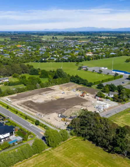
Prebbleton Residential Subdivision
- Enterprise Homes Ltd.
- Christchurch

Smart Asset Management for Canterbury Irrigation Infrastructure Using GIS
- Waimakariri Irrigation Limited
- Christchurch

Transforming Canterbury Farm Environment Plan Management with GIS Mapping
- Waimakariri Irrigation Limited
- Christchurch

Christchurch Cross Lease to Freehold Conversion: Unlocking Potential
- Private Client
- Christchurch

A Seamless Christchurch Multi-Unit Subdivision from Start to Title
- Private Client
- Christchurch
Subdivision Planning and Surveying for Christchurch Infill Development
- Private Client
- Christchurch

Geotechnical Investigation for Christchurch Community Housing Development
- Ōtautahi Community Housing Trust
- Christchurch

Complex Residential Subdivision on Challenging Terrain in Nelson
- Bishopdale Potteries Ltd (Gibbons Family Developments)
- Nelson

Large Scale Residential Development in the Heart of Queenstown
- Silver Creek Limited
- Queenstown

Dwell Punakaki
- Dwell Holdings Ltd.
- Hokitika

Lake Kaniere Subdivision
- Lake Kaniere Developments
- Hokitika

Architectural Repurposing for Marian College Campus
- John Jones Steel
- Christchurch

Hope Street Water Main Renewal
- Tasman District Council
- Nelson

Hanmer Springs Residential Subdivision
- Searle Group
- Nelson

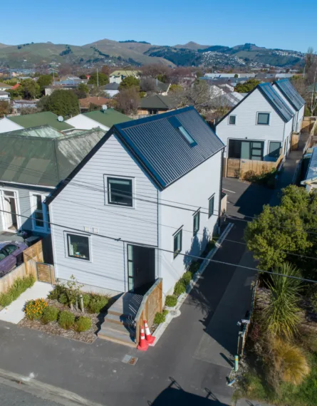
Sepia Lane Residential Project
- Private Client
- Christchurch

Land Damage Assessments
- Private Insurance Companies
- Nelson