Smart Asset Management Using GIS
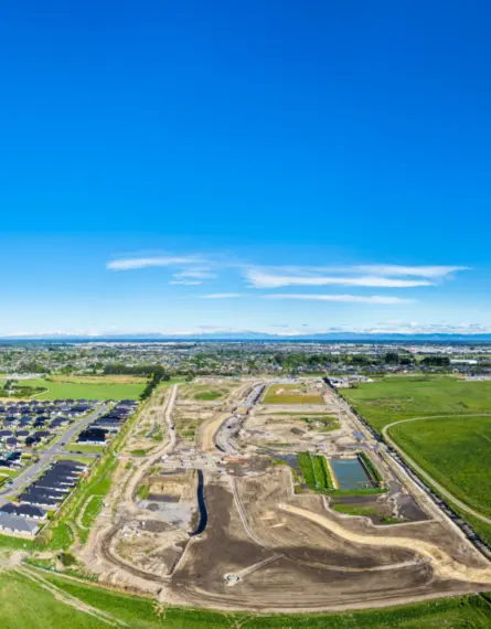
Waimakariri Irrigation Limited (WIL) operates in North Canterbury, delivering irrigation water to approximately 365 farms across its scheme area. After engaging Eliot Sinclair to provide a comprehensive visual mapping tool for their irrigation services, the client identified a need for a more structured way to manage its assets. The client manages not only their own assets, including irrigation infrastructure and monitoring equipment, but also those of its clients that are required for reporting compliance with Farm Environment Plans.
Previously, asset information was stored in spreadsheets or within a health and safety platform, limiting spatial context and making field inspections less efficient. WIL approached Eliot Sinclair to develop an integrated asset management solution.
Client
Waimakariri Irrigation LimitedServices
- GIS
The challenge
WIL needed to geolocate all relevant scheme assets extracted from their Assura system and create visual maps in the ESRI software, similar to the FEP datasets. The challenge was to enable two-way communication between systems so inspection and maintenance records could be updated automatically, while also providing a simple field tool for WIL staff to collect and edit asset information.
The system needed to be intuitive, adaptable for future requirements, and capable of storing asset attributes, condition ratings and maintenance histories.
The solution
Eliot Sinclair ingested WIL’s asset register, assigned spatial locations to each asset and inserted them back into their cloud-based GIS platform (ArcGIS Online) to host this data. We developed an online field application that allows WIL staff to identify assets, record inspections, and upload maintenance notes directly from site.
The system integrates with Assura so that when an inspection is logged, a corresponding record is created in both platforms. This ensures all maintenance needs are visible in real time and reduces duplication of data entry.
The solution supports related records functionality, enabling precise mapping of issues within larger assets (such as long races or bridges) so maintenance crews know exactly where to attend.
By providing a visual representation of all scheme assets, WIL can now plan maintenance, forecast replacement costs and budget more effectively. The project has strengthened WIL’s asset management capability and reinforced our ongoing partnership.